Real imagery · real detection
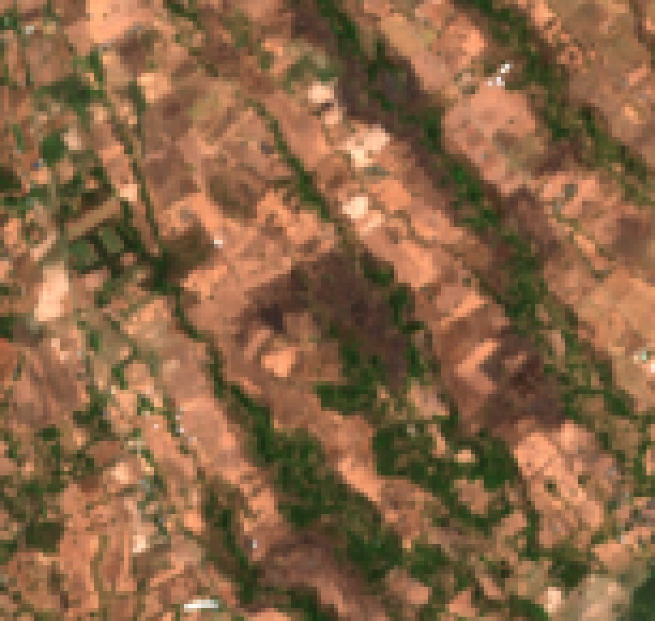
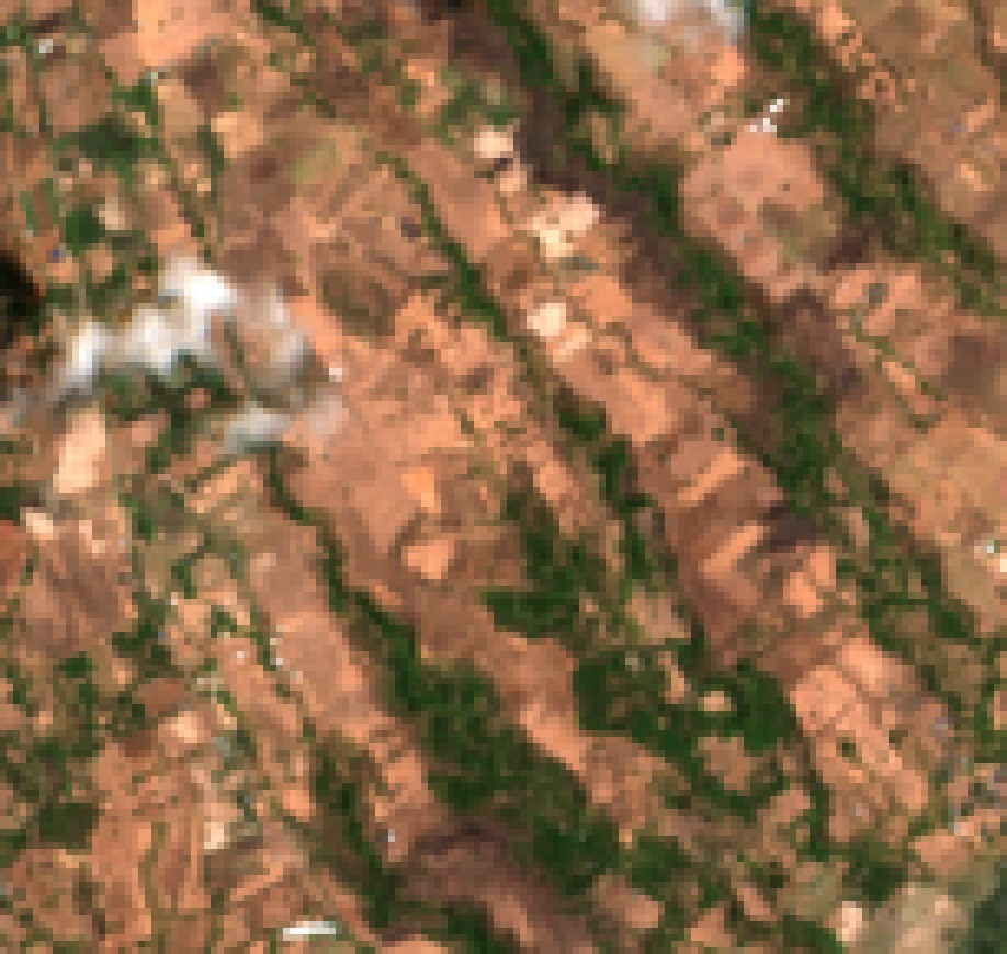
Drag the line.
That's a burn scar, dated and measured.
Not a mockup. Sentinel-2 true-colour captures of a parcel in Negros Oriental, straight out of a delivered audit.
Capabilities
One platform. Every question the land can answer.
Acquisition due diligence
Was this parcel really "untouched farmland"? Eight years of history, audited before you sign.
Encroachment & clearing
Vegetation loss and new bare soil on your land or concession — dated, mapped, sized in hectares.
Burn events
Fire scars detected and measured, recurrence tracked year over year across your whole territory.
Construction verification
Radar sees earthworks through cloud cover. The work you pay for is the work that happened — verified from orbit.
Water & coastline
Appearing or drying water bodies, fishpond expansion, watershed state — monitored parcel by parcel.
Supply-chain proof
Plantation-level verification for buyers who must show where their coconut, coffee or timber comes from.
Why it's credible
Three things a sales deck usually won't tell you.
It detects
Construction found by radar
A real subdivision earthwork in Palinpinon, Valencia — flagged LIKELY from Sentinel-1 radar, in the right time window, on a 12-day-revisit archive.
It stays quiet
0 / 24Random, non-curated farmland parcels pointed at the construction radar. It stayed silent on every single one. Silence you can trust.
It admits limits
A disclosed miss, published
One independently sourced ground-truth site returned UNOBSERVED. The reason is analysed in writing and shipped with the catalogue — not hidden.
Pilot program
One parcel. On us.
72 hours, evidence in hand.
- Evidence-grade PDF report + interactive web page
- Plain-word verdicts: OBSERVED / LIKELY / POSSIBLE / UNOBSERVED
- Imagery, dates and method attached — independently checkable
- The limits stated in writing, on the report itself
DETECTION GRADE: EVENTS ≥ 0.5 HA ON VALID OBSERVATION PAIRS.
A "STABLE" VERDICT MEANS NO QUALIFYING CHANGE AT THAT GRADE — NEVER "NOTHING HAPPENED, EVER".
Transmission
Request your audit
Fill this in — it opens WhatsApp with your request pre-written. Nothing is stored on this page.
or message directly — WhatsApp 0997 879 3496 · marklar@marklar.systems